
Do You Need a Property Survey or Location Drawing When Buying in Maryland?
RETURN TO BLOG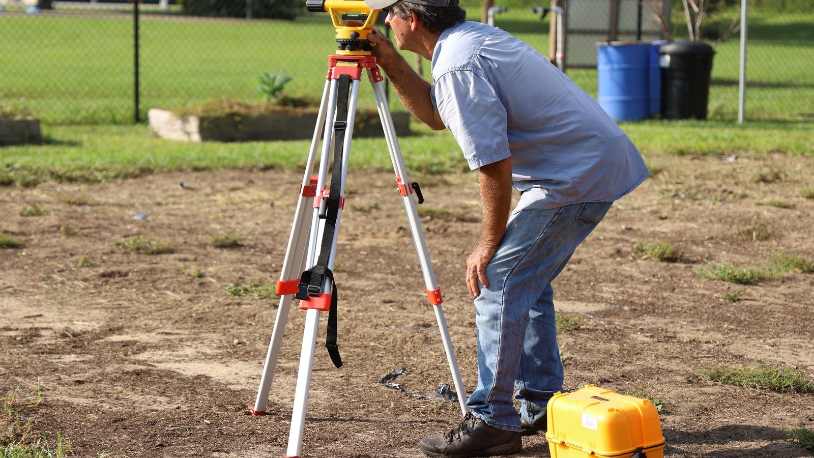
A location drawing and a boundary survey are not interchangeable. Buyers should understand what is being ordered, what it can reveal and what questions still require a licensed surveyor.
Good real estate advice connects the property, contract, timing and risk.
That is especially important in Calvert County, where wells, septic systems, waterfront conditions, acreage and unique communities can change the analysis.
Why Buyers Ask About Surveys
Property lines can affect fences, sheds, driveways, additions, piers, septic areas and future plans. A buyer may assume that a lawn, tree line or fence marks the boundary, but visible occupation is not always the legal line.
In Calvert County, older homes, waterfront lots, rural acreage and private roads can create questions that are not answered by looking at the tax map or online aerial image.
A Location Drawing Has a Limited Purpose
A mortgage location drawing generally shows the approximate relationship between improvements and apparent property lines for a specific transaction. It may help identify obvious encroachments or setback concerns, but it is not the same as setting or certifying boundary corners.
Buyers should read the surveyor’s certification and limitations. The document may not be suitable for building a fence, resolving a dispute or designing an addition.
A Boundary Survey Is More Detailed
A boundary survey involves research, field work and professional analysis to locate or establish property boundaries. Depending on the scope, a surveyor may locate monuments, mark corners and prepare a plat.
The time and cost are usually greater, but the result may be appropriate when the buyer needs reliable boundary information for construction, fencing, subdivision questions or a known dispute.
Review Easements and Rights of Way
A survey can help a buyer understand where a shared driveway, utility easement, access lane, drainage area or other recorded interest lies in relation to the improvements. The title work should also be reviewed because the drawing alone does not explain every legal right or restriction.
Private-road buyers have additional questions about access and maintenance. A survey may show the physical route, while the recorded documents explain who may use it and who pays for it.
Look at Improvements Near the Lines
Fences, sheds, garages, pools, patios and additions deserve extra attention when they sit close to an apparent boundary. An encroachment can affect title, insurance, financing, future improvements and neighbor relations.
Do not assume an improvement is permitted or properly located because it has existed for years. The issue may require records, title review, zoning information and advice from the appropriate professional.
Waterfront Properties Need Extra Care
Waterfront boundaries, shorelines, piers and access rights can be complicated. The edge of maintained grass is not necessarily the legal property line, and shoreline changes can affect what a buyer sees on the ground.
Buyers should also review shoreline protection documents and flood information rather than treating a basic location drawing as a complete waterfront investigation.
Order the Right Product for the Question
Start by identifying what you need to know. If the goal is satisfying a lender or obtaining a basic transaction drawing, a location drawing may be enough. If the goal is building, fencing, resolving an encroachment or relying on precise corners, ask a licensed surveyor about a boundary survey.
The least expensive document is not a bargain if it cannot answer the buyer’s actual question.
Coordinate Survey, Title and Contract Timing
Survey questions should be raised early enough for research and field work. The contract deadlines, title review and settlement date matter. Waiting until the week of closing can leave little time to investigate a concern.
A strong buyer strategy identifies the property-specific risks early, assigns the correct professional and preserves time to make an informed decision.
Continue your planning with these related guides: Waterfront Shoreline Protection Documents for Calvert County Buyers and Flood Maps and Flood Insurance for Calvert County Waterfront Buyers.
Frequently Asked Questions
No. A location drawing usually has a narrower transaction purpose and does not provide the same boundary certainty as a full boundary survey.
Do not assume so. Ask a licensed surveyor whether the document is appropriate for construction or whether a boundary survey and corner marking are needed.
It may depict easements provided to the surveyor, but title documents should also be reviewed to understand the legal terms and rights.
Waterfront buyers often benefit from careful survey and title review because boundaries, shorelines, access, piers and recorded rights can be complex.
A Maryland-licensed professional land surveyor should explain the scope, limitations and appropriate survey product for the property.
Sources Cited
- Maryland Department of Labor, Land Surveyors Consumer Information: https://labor.maryland.gov/license/ls/lscon.shtml
- Code of Maryland Regulations, Professional Land Surveyors: https://regs.maryland.gov/us/md/exec/comar/09.13/index.full.html
This article provides general real estate information. Legal, loan, insurance, tax, appraisal, inspection and property requirements vary. Consult the appropriate licensed professional for advice about your specific situation.
Need a Clear Strategy for Your Calvert County Move?
I will help you understand the property, the contract and the negotiating choices before they become expensive surprises.
Dawn Riley
Associate Broker, Realtor and Master Certified Negotiator
The Riley Team at Deep Roots Real Estate
410-414-2438
dawn@dawnriley.net
www.dawnriley.net